
Need Blue Art Tours Help?
Mailing List
Sign up for our mailing list to get latest updates and offers.
Total distance: ~280–300 km over 4 days
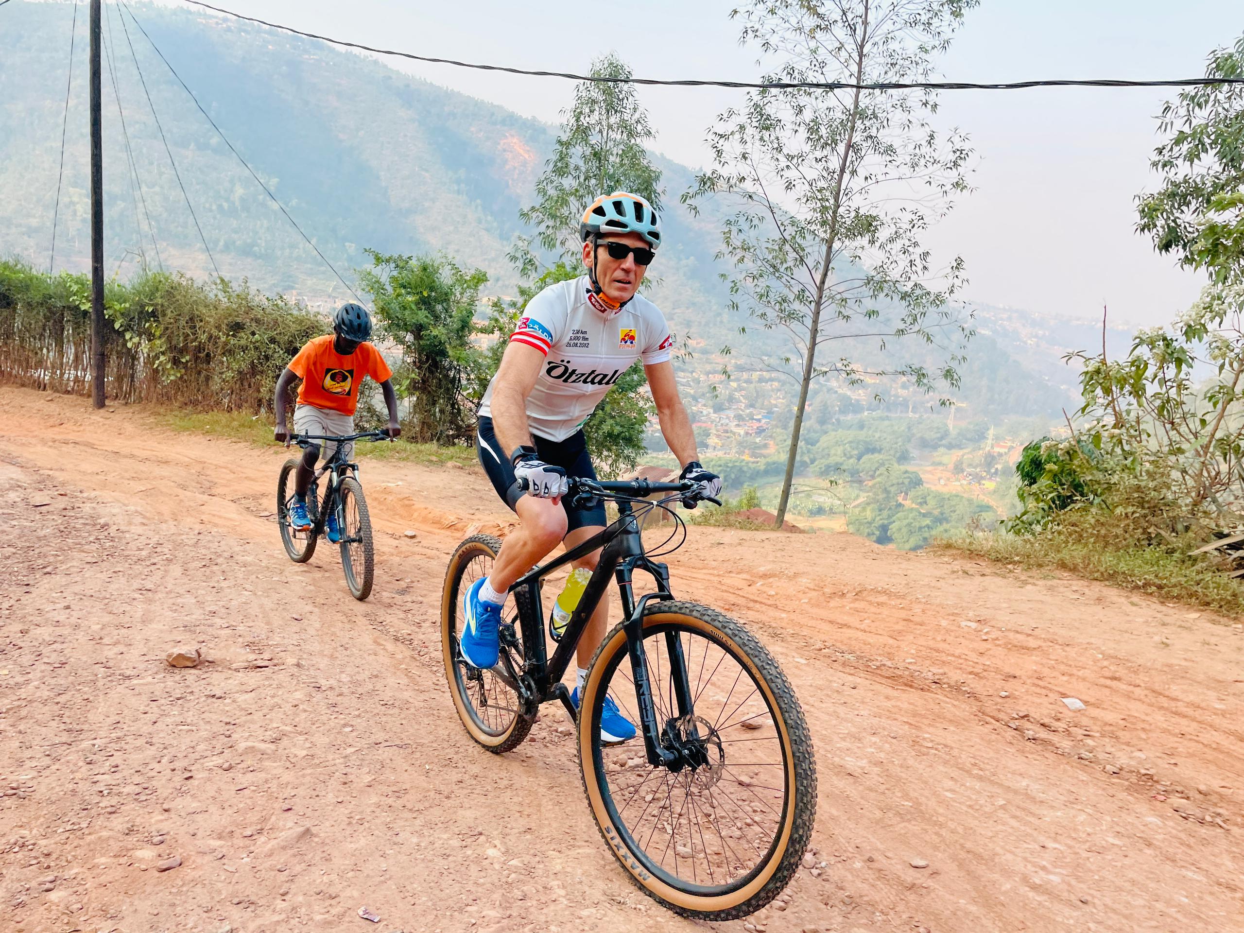
Distance: ~95 km | Elevation: ~1,800 m gain | Difficulty: ★★★★☆ Challenging Depart Kigali heading northwest on the main RN2 highway. The route passes through picturesque Rwandan countryside with terraced hills, banana plantations, and small towns as the road climbs progressively into the northern highlands. Riders who regularly train on hilly terrain and are comfortable with long sustained climbs will find this achievable the final section rewards with clear views of the Virunga volcanoes on the horizon. Start: Kigali city centre Midway stop: Rulindo / Byumba area — local market lunch Finish: Musanze (Ruhengeri) — base of Volcanoes National Park Highlights: Terraced hills, crater lake glimpses near Musanze, volcano silhouettes at dusk
Distance: ~65 km | Elevation: ~900 m gain | Difficulty: ★★★☆☆ Moderate Head southwest out of Musanze toward the Cyanika border crossing into Uganda. The road passes through Rwanda's famous hills, farms, and volcano ranges, with many opportunities for photography. Cross into Uganda at Cyanika — the border sits high in the highlands with dramatic views of the Virunga chain. Descend into Kisoro town, a compact mountain outpost in the shadow of the volcanoes. Gorillasinrwandatours Start: Musanze Border crossing: Cyanika (Rwanda → Uganda) Finish: Kisoro town Highlights: Virunga volcano views, the tri-border region of Uganda/Rwanda/DRC, lush highland farmland
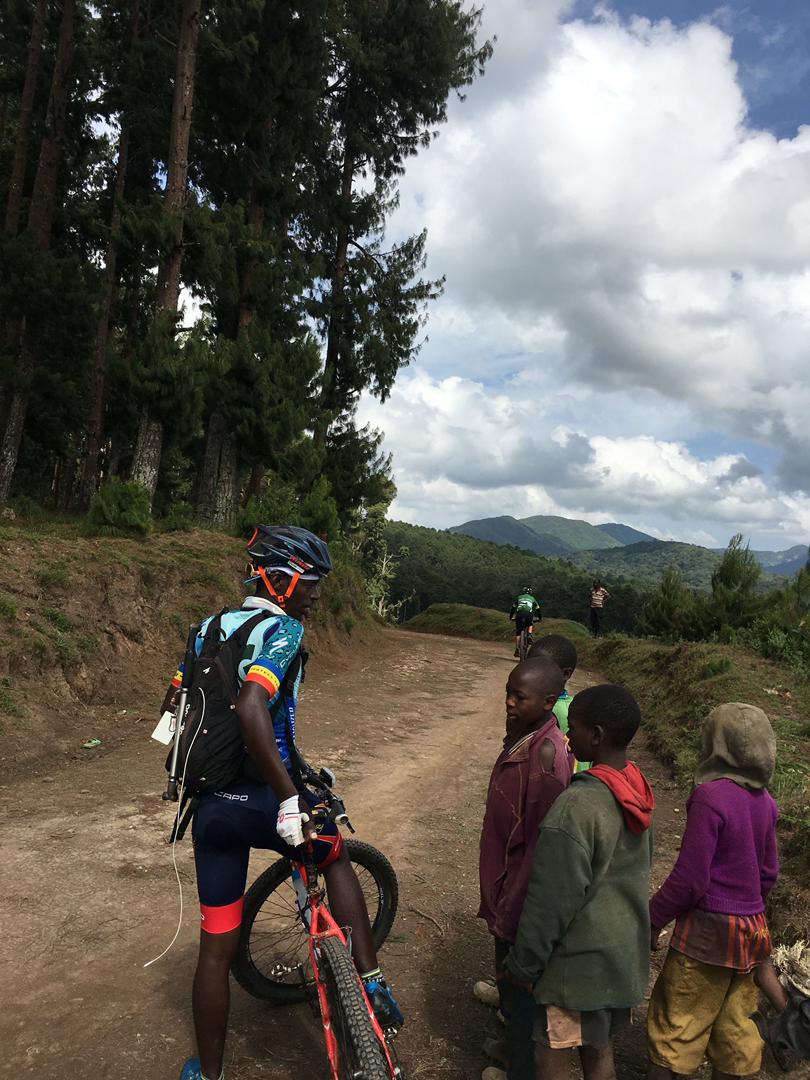
Distance: ~80 km | Elevation: ~1,100 m gain | Difficulty: ★★★☆☆ Moderate The most scenic day on the bike. A beautiful ride along dirt roads, then onto tarmac until the top of the pass. The route winds through highland communities toward Kabale before the final descent to the lake. The last 7 km to Bunyonyi is a dirt road with a short but very steep climb just before the lake — then paradise. Start: Kisoro Midway stop: Kabale town — lunch and resupply Finish: Lake Bunyonyi shoreline (Rutinda) Highlights: Mountain passes, sweeping valley views, first sight of the island-dotted lake
Distance: ~30–35 km | Elevation: Rolling | Difficulty: ★★☆☆☆ Easy–Moderate A well-earned, leisurely final day exploring the lake by bike. The weather and temperature are ideal for cycling due to the high elevation — the equatorial sun won't beat you down. Ride the lakeshore trails, pass through fishing villages, and stop at elevated viewpoints for panoramic island views. Morning: Northern lakeshore trail — birdwatching, dugout canoe sightings Midday: Village community stops, fresh tilapia lunch at a local spot Afternoon: Southern loop back to lodge — terraced farmland, sunset views over the water Highlights: Over 200 bird species, including grey-crowned cranes, African harrier hawks, herons, and the African
Fill the form below and we'll get back to you
WhatsApp: +250 781 928 210
Email: info@blueartours.com
© 2026 Blue Art Tours. All rights reserved
Blue Art Tours
